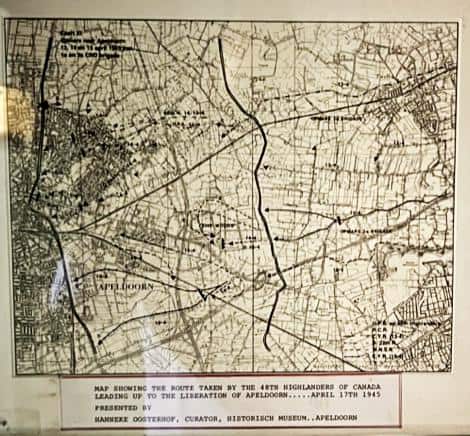
A 7.5 inch by 9.25 inch map presented to the 48th Highlanders museum by the Apeldoorn Museum. The route from the Ijssel River at Wilp to Apeldoorn is marked on the map. The card at the bottom of the map states: “Map showing the route taken by the 48th Highlanders of Canada leading up to the liberation of Apeldoorn … April 17th 1945. Presented by Hanneke Oosterhof, Curator, Historisch Museum, Apeldoorn.”
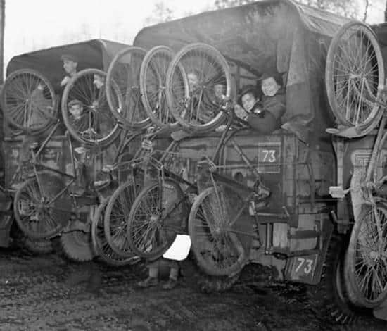
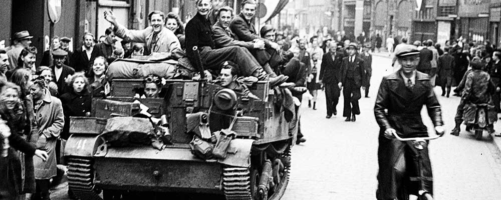
The liberation of the Netherlands, from September 1944 to April 1945, played a key role in the culmination of the Second World War, as the Allied forces closed in on Germany from all sides. The First Canadian Division played a major role in the liberation of the Dutch people who had suffered terrible hunger and hardship under the increasingly desperate German occupiers.
The Canadian army also played a leading role in opening Belgium and the Netherlands’ Scheldt estuary (tidal river), gateway to the port of Antwerp. Access to this port was essential to maintain supply lines to the Allied armies as they continued their push toward Germany to defeat Adolf Hitler’s forces and free Western Europe from four years of Nazi occupation which had begun in April 1940.