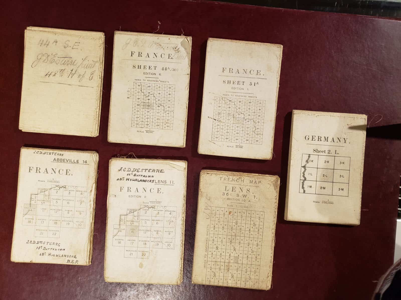
Seven folded maps on linen – fibre paper. Each is 32″ x 23″.
- Field survey map of trenches around Dourges France on Sept 26, 1918
- Field survey map around Lens France with trench markings
- Field survey map of Valenciennes France
- Large scale field survey map of Lens France
- Topographical map of Abbeville France 1915
- Ordnance Survey Arras France 1916
- Ordnance survey Bonn area of Germany Larger scale 1918
All maps bear pen writing of JCD d’Esterre 15th Battalion, 48th Highlanders.